World Relief Map Print
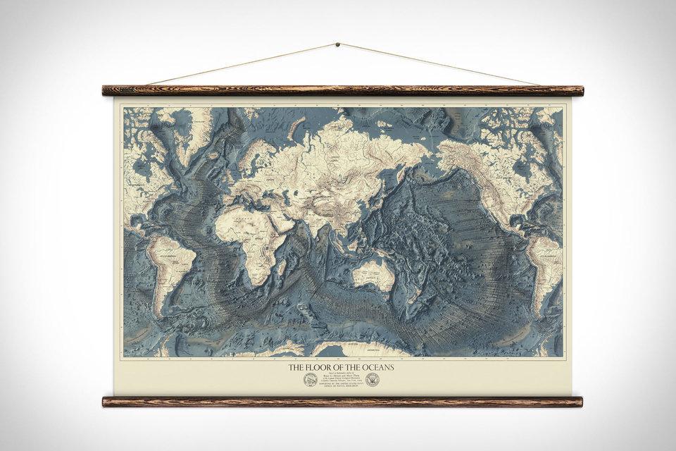
Originally published in 1976 by the United States Navy Office of Naval Research, this map shows the topography of land and ocean floors. This meticulous, accurate reproduction preserves the beautiful aged look with an astonishing level of detail and depth. The artwork is printed on Airtek canvas and hand mounted with aged timber batons and 100% hemp rope. Each piece arrives ready to hang.
Size: 51.2" x 35.4"


